River
Vorderrhein
Below Ilanz it carved the Ruinaulta canyon country in the Flims Rockslide zone.
- Total length
- 68 km
- Source
- Lake Toma (Tomasee), Oberalp Pass area, Graubünden
- Flows into
- Joins the Hinterrhein at Reichenau to form the Rhine
- Discharge
- Not verified
- Canton
- Graubünden
- Towns
- Disentis/Mustér, Ilanz
Source: en.wikipedia.org
Photographs
5 pictures · tap to enlarge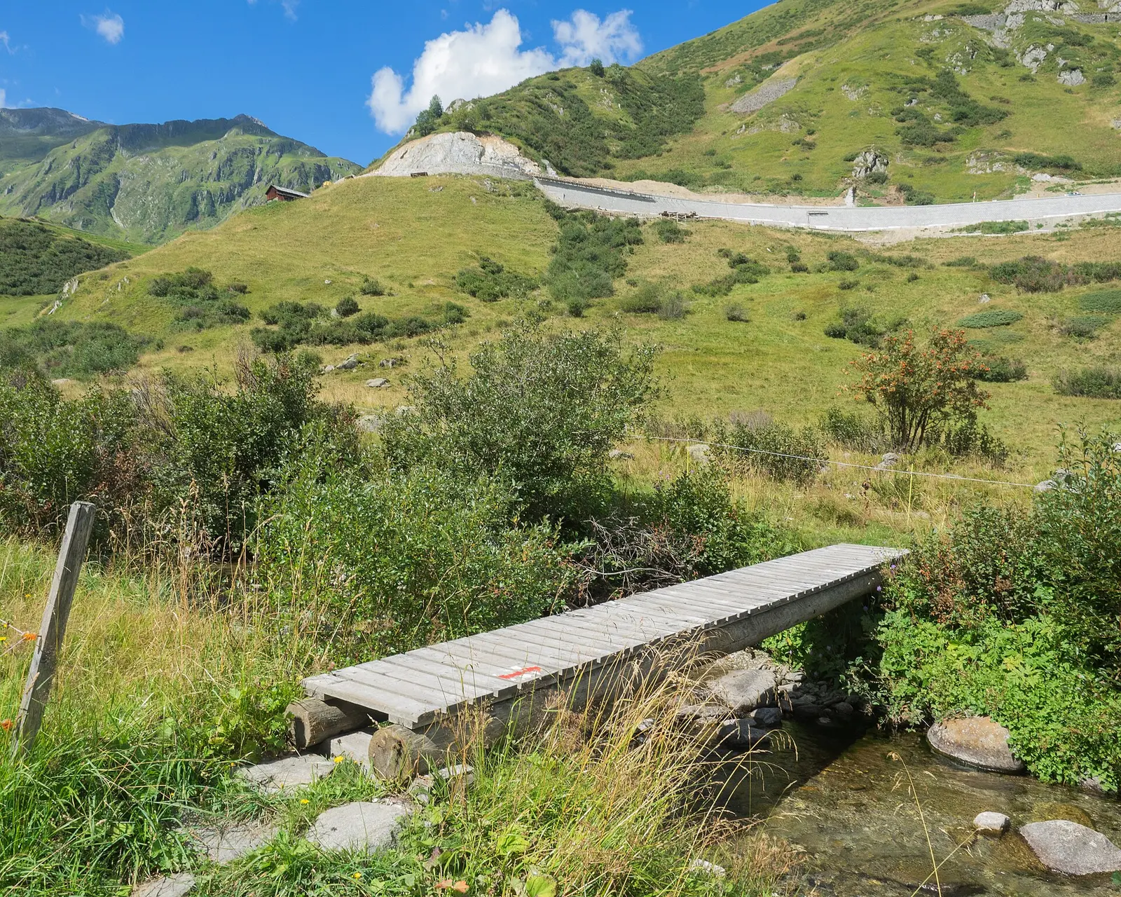
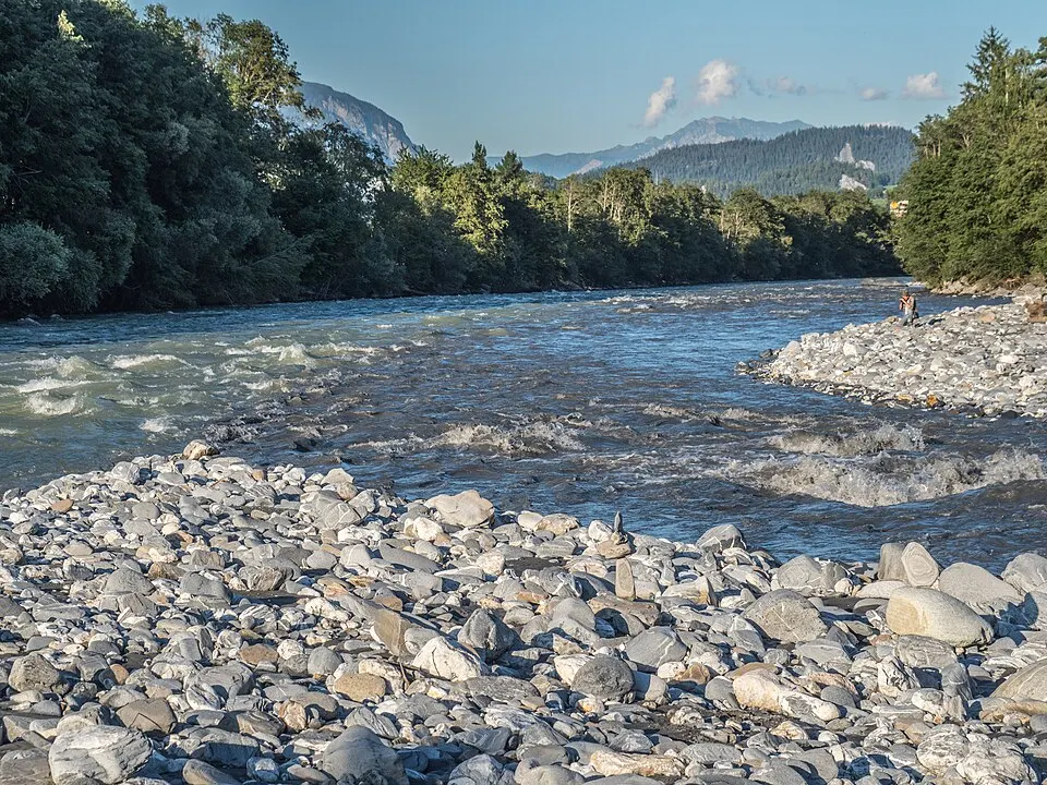
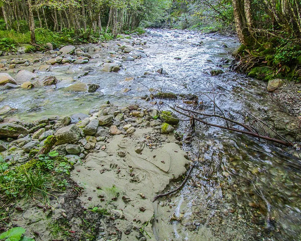
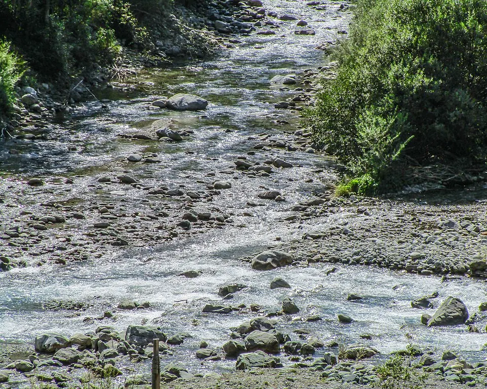
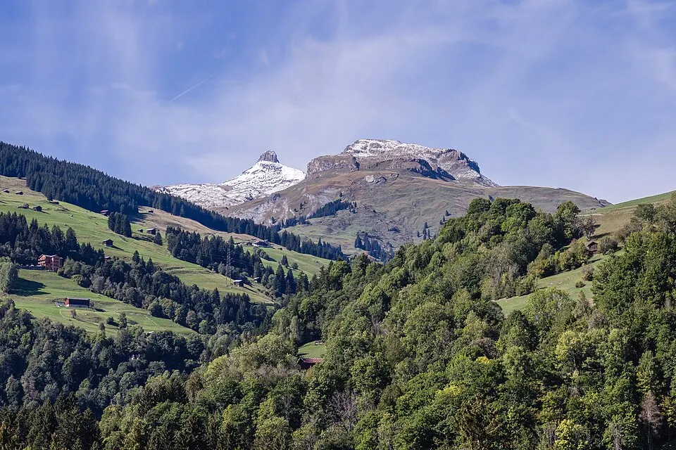
Jag9889, Dominicus Johannes Bergsma · Wikimedia Commons · CC BY-SA 4.0
Ask me
Ask me about Vorderrhein
I can tell you which weeks suit it, which base to stay in and how it fits into a route with the rest of your journey. Tell me when you are coming, and I will build the days around it.
MarieLucerne and the Engadin.
Nearby
Put Vorderrhein in a journey.
Tell me when you are coming and I will build the days around it — the right base, the right train, the right table — and say plainly if another season would serve it better.
- Reply within one working day
- Marie, Lucerne and the Engadin
- First outline free, fees stated
- DE · FR · EN